Trails à Godinne is an initiative of 3 runners. They offer 4 permanently marked trails in the Bocq Valley (B), all starting at the Godinne train station. To celebrate their 1st anniversary, they made an XXL version of their trails, available as a GPX.
When I read this, it was but a small step to decide I wanted to run it.
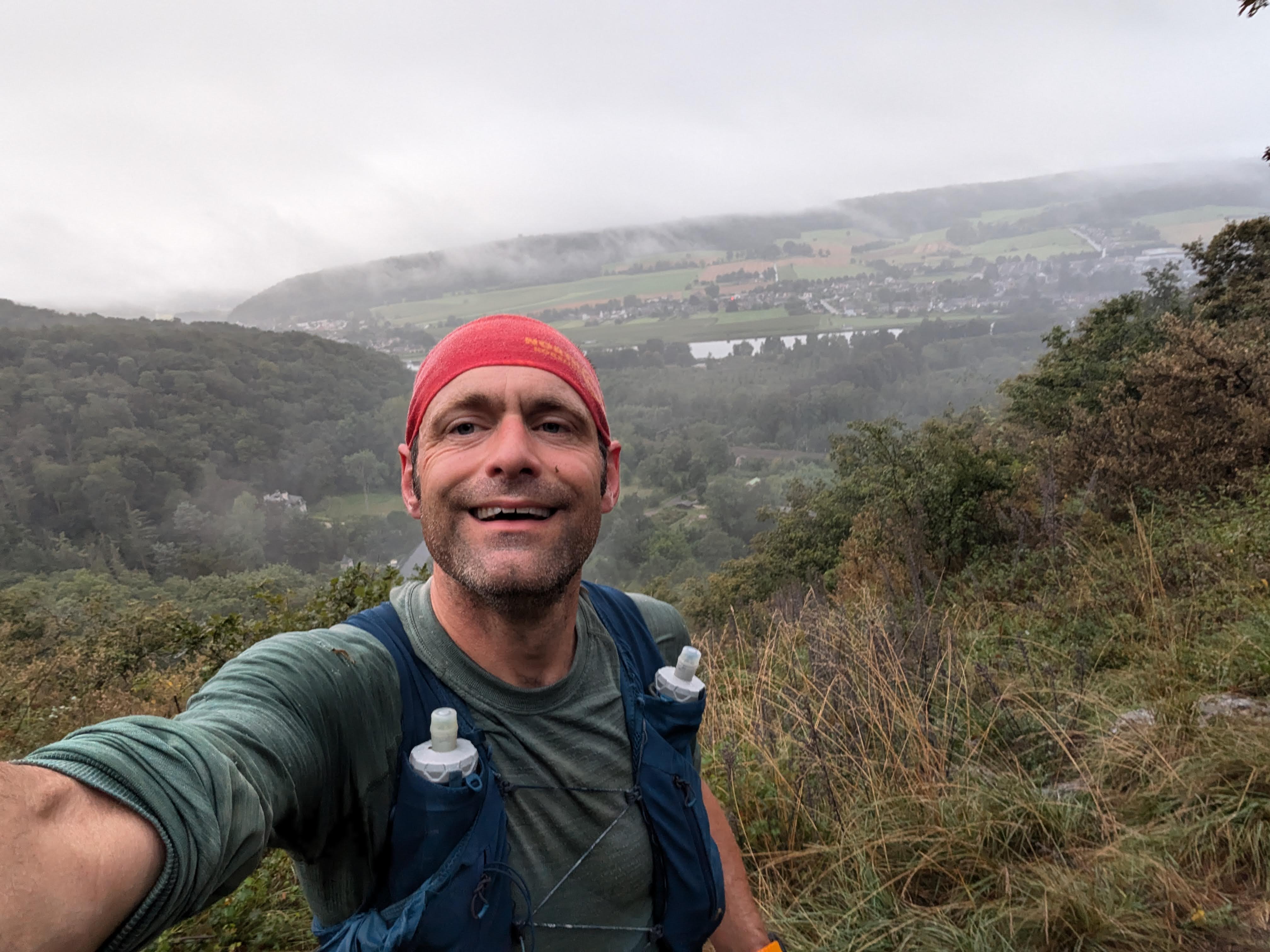
After a night in the van on a parking lot near the start, I set out just before sun rise. It’s drizzeling very slightly, the kind of drizzle you don’t realy feel but that will get you soaked anyway.
The goal of today’s run is to enjoy myself. I am not going to push myself hard.
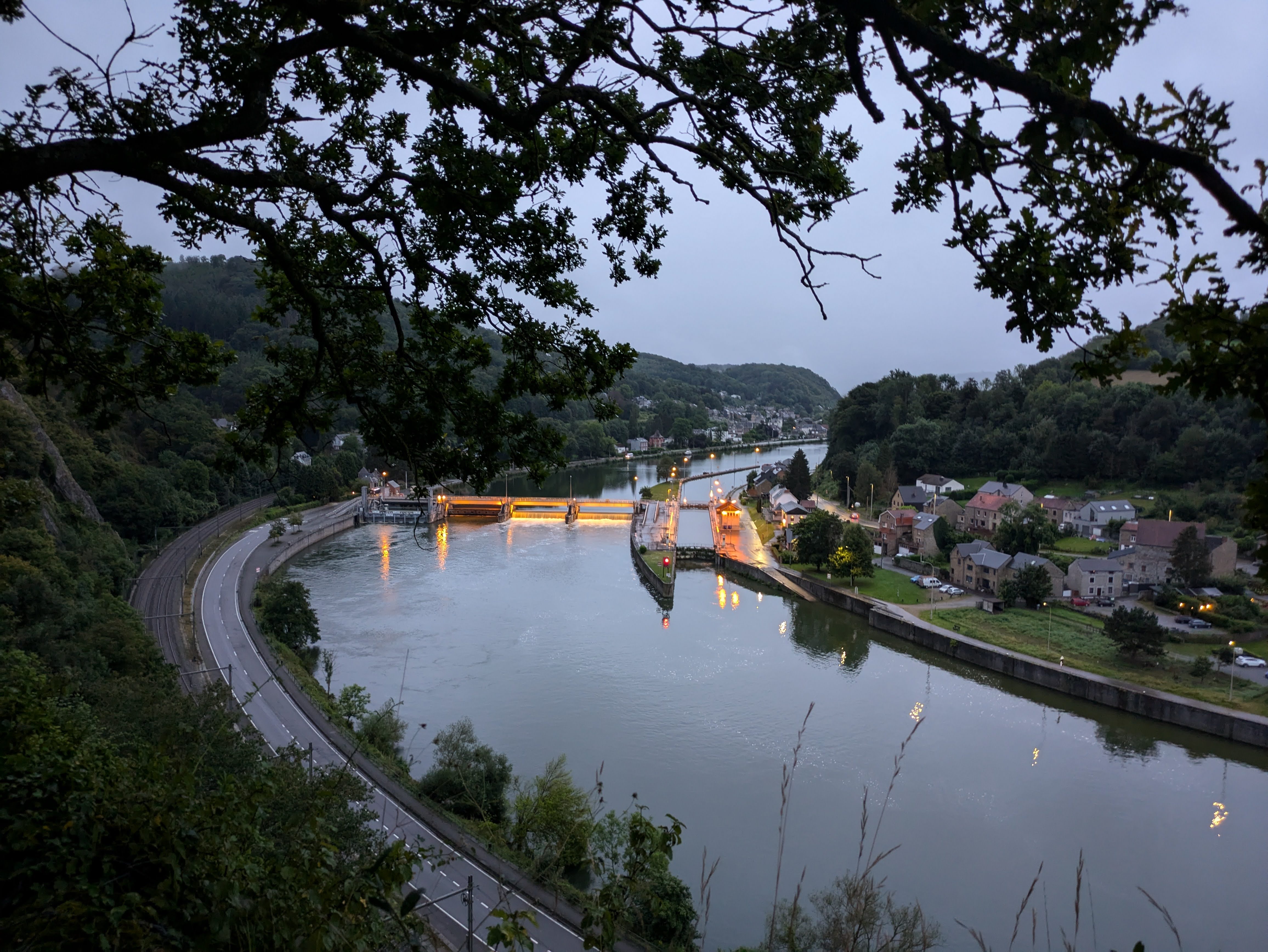
A first climb out of Godinne offers a nice view on the Meuse river.
The first 12km of the route roughly follows the river valley, with some hills here and there. Even if it’s rather foggy, this still leads to some nice views over the Meuse. It’s warm and very humid. The grass and bushes near the ground being very wet, my feet are soon soaked. I struggle a bit with the inner sole of my left shoe: it slips to the side, and my heel slips off it. I stop twice to re-tie my shoe. The second time I tie the heel-lock rather hard. After that, the problem stays away.
The route brings me to the Forteresse de Poilvache, a medieval fort on a promontory above the Meuse Valley. Unfortunately I am there too early and the site is still closed.
There is my first navigational puzzle: there is no path where my GPS indicates I have to go. After running up and down the trail, I decide to cut through the forest and follow the GPS course to see where it leads me. I scrumble through some bushes and over a couple of fallen trees, and suddenly there is a single track under my feet.
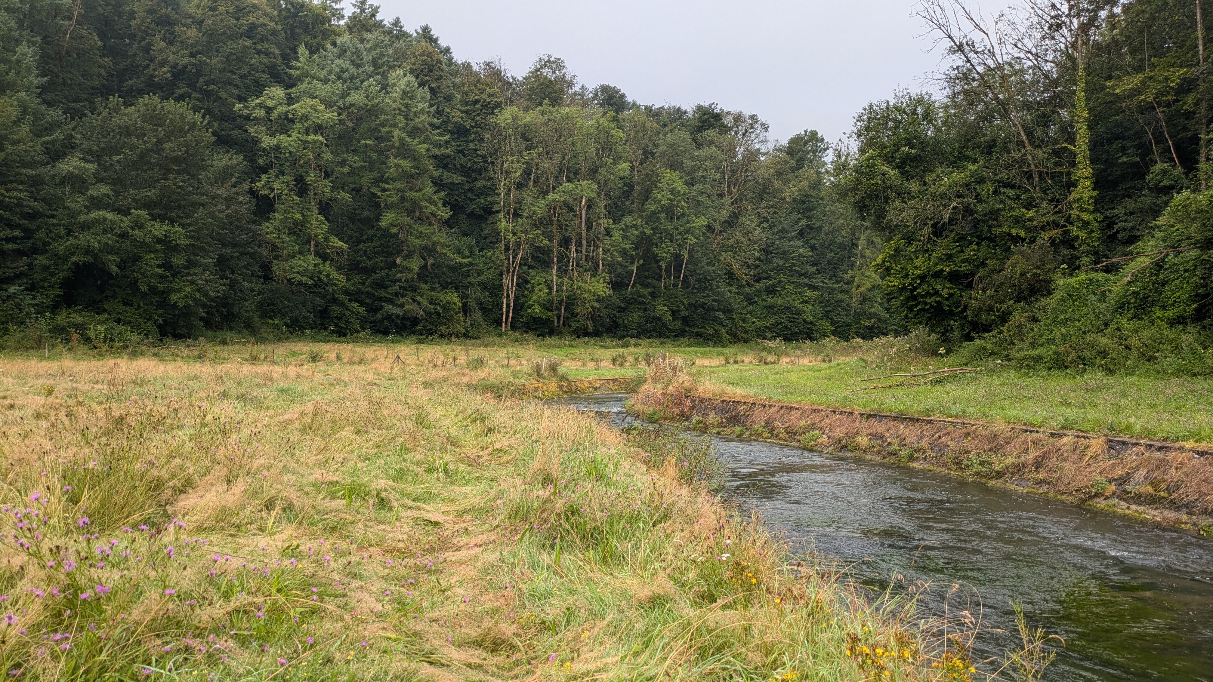
It gets hotter, but it’s still very humid. My sweat just puddles on my skin and refuses to evaporate. The route continues, alternating forest paths with farmer roads between fields.
A bit farther, just out of the village of Spontin, I cross the geographic centre of Wallonie. There is a monument. A good place to take a look around and rest for some minutes, after about 3 hours of running.
And it’s time for my second navigational confusion moment. I see that I have to long the Bocq river, but don’t see any path. Sticking to the GPS route, I enter a pasture. At the other side of the pasture I cross the wire fence. Some scrumbling through high grasses and I finally get back onto a path. Looking behind me on the left, I see that I have completely missed the clean, mowed path through the pasture.
At the cemetery of Durnal, I stop to re-fill my flasks and charge my watch a bit. Nothing too soon: after 4 hours of running in this humid weather, my 3 flasks were empty. I am half way, and I am feeling strong. My legs are good. The only thing that bothers me a bit is the warm humidity. I am soaked as if I have been running in constant rain.
More fields, pastures and patches of forest. This is a beautiful part of my own country I didn’t know. Nice to discover this region.
An hour later I cross the beautiful village of Crupet, which advertises itself as “Un des plus beaux villages de Wallonie”, and with reason. Entering the village I see the castle of Crupet. And in the village centre the grotto next to the church.
I forgot to pack any non-sweat snacks. In Lustin is a small supermarket, so I want to get in and buy some cheese or sausage. But when I open my pack I realise that I have forgotten the small zip-lock bag with my ID, drivers license, and debet card, in my car. So no salty snacks for me; that’s a bit of a bummer.
During the last big ascent to the forest just above Lustin, I need to sit down for a bit. But there’s only this ascent to finish. Then it goes back down to the Meuse river. The hardest part is done, so I get back up to finish this.
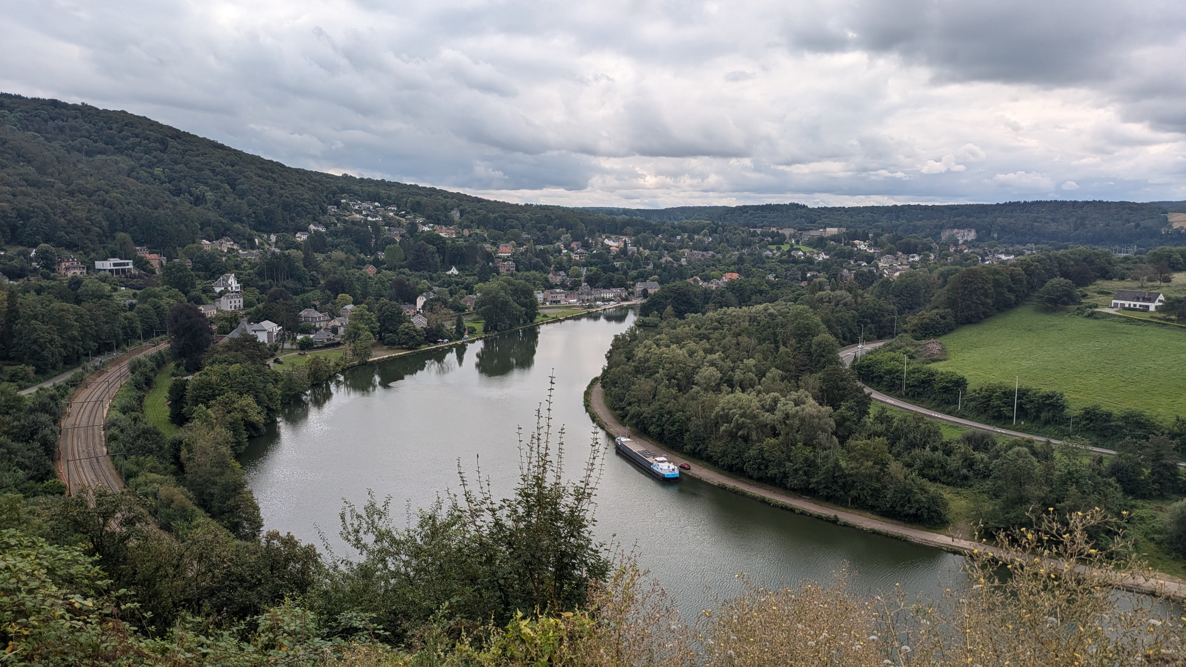
A last view of the Meuse Valley.
At 1.5km of the end, I miss the small single track down to the path next to the rail track. My watch indicats a course error, but I don’t see a path. I wander around on the high bluff, looking for a way down. Only when I decide to go back some 250m, I find the track, indeed!
And finally I reached the train station at Godinne.
What a great adventure, what a nice day out!
Warm thanks to the team at Trails à Godinne for the gift of this nice route. ❤
If you want to react to this post, you can contact me: