At end of August, we were on a week-long family holiday in the Alps near Bourg-Saint-Maurice. When on holiday, I always try to fit in a day out on my own. Next to shorter runs spread over the holiday. I just love running in other places, as every runner does, I suppose.
I had spotted a nice summit I wanted to scale: Mont Valaisan. Starting from our holiday apartment, I plotted a route to this summit and back using Komoot. Some tweaking to use small trails where possible, and I had my route.
The plan was to wake up at 05:00 and eat something. Then I would make my last preparations and get out.
I had calculated an optimistic (8h30) and slowest (10h) schedule.
04:25 I am already awake.
I haven’t slept very well, first due to the heat in our bedroom and then due to some nervousness, I guess.
I decided to get up and start the day.
After a breakfast of granola with yoghurt and fruit, I collect the last stuff I will need today.
Backpack on my back, head torch on and out of the door!
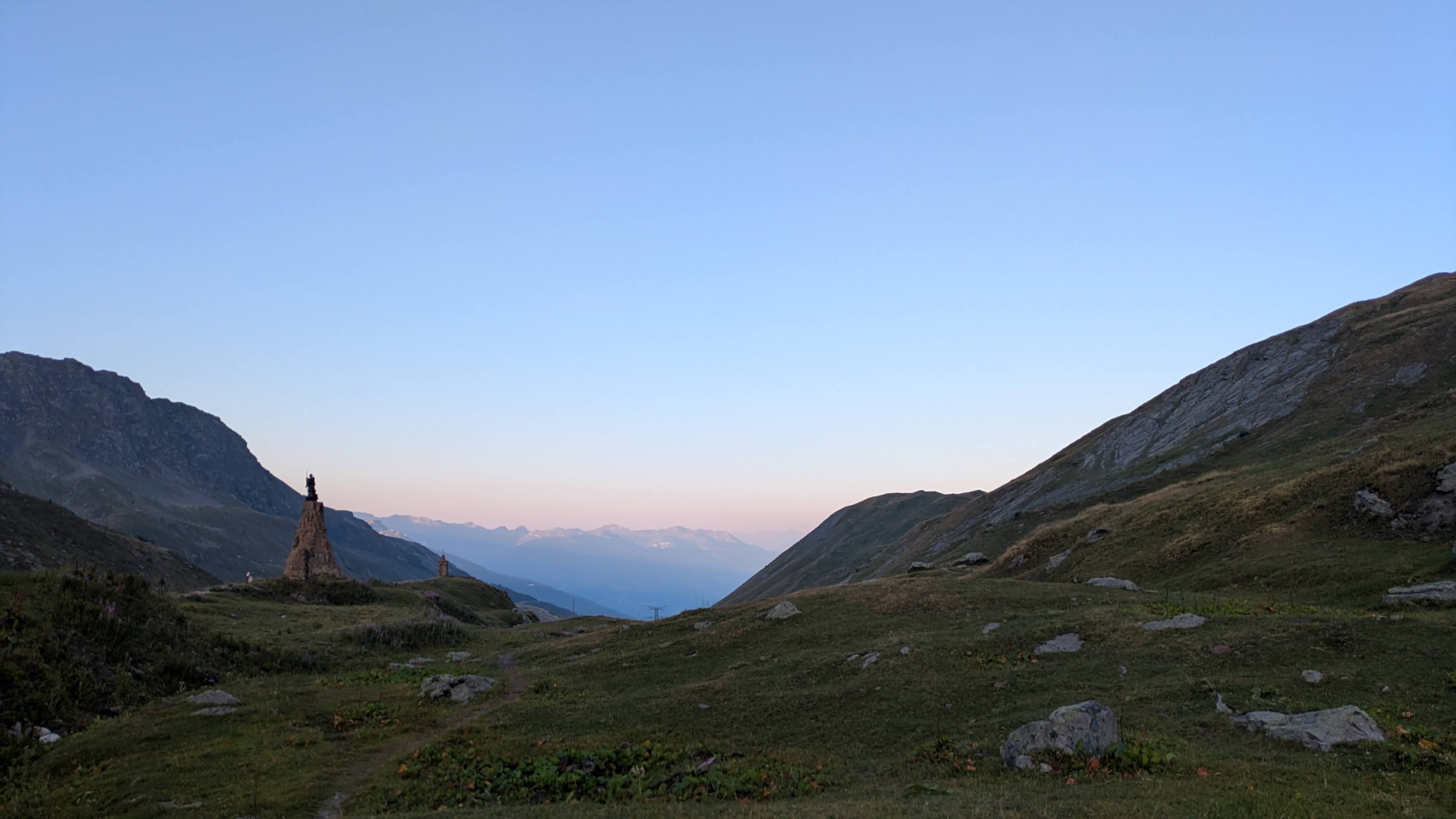
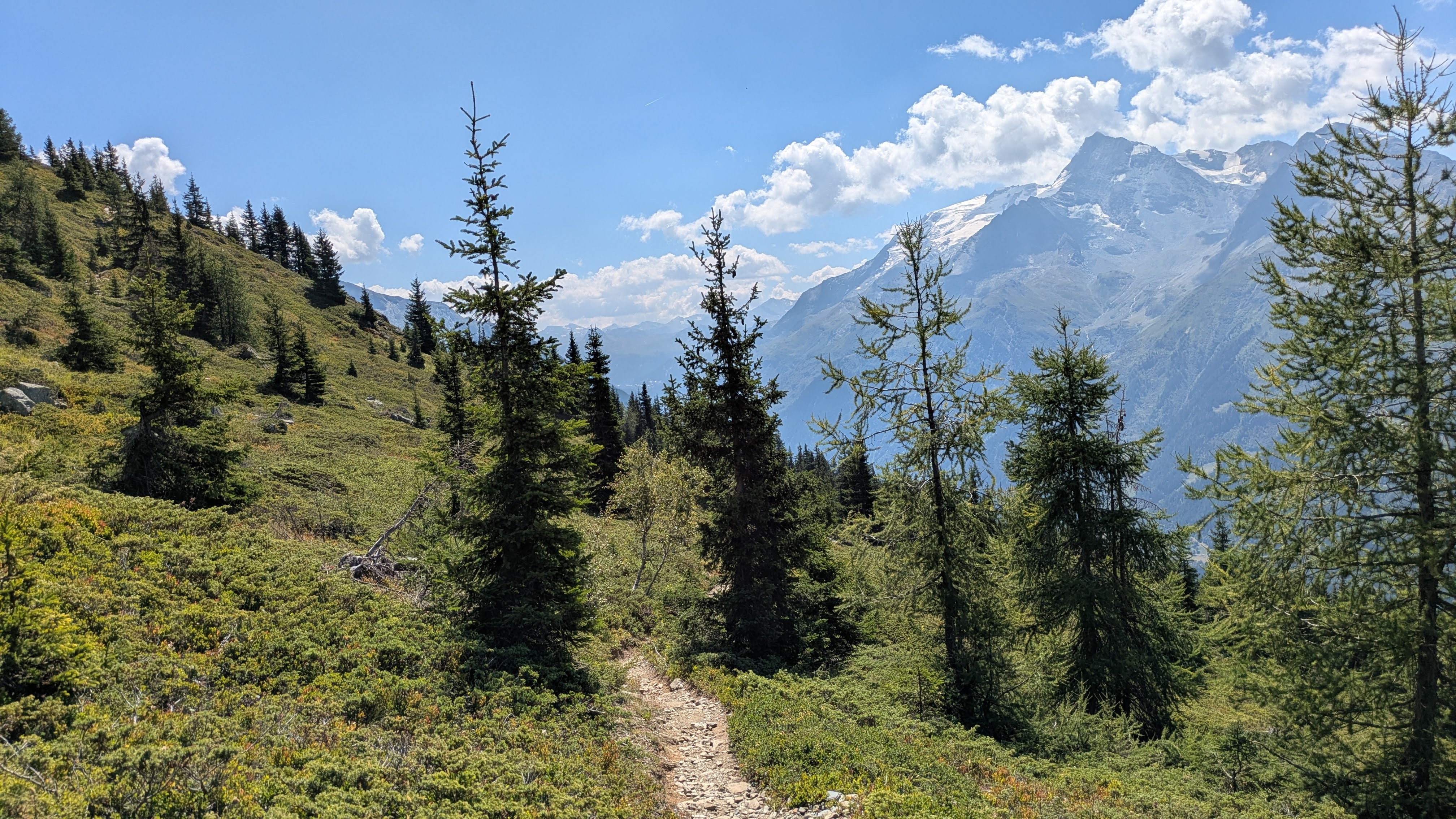
05:04 Less than 200m from the front door I am on a narrow trail in the forest, descending towards the village of Villard Dessus.
I run swiftly for about 15min.
After crossing the village, the first and biggest ascent of the day awaits me: from here to the summit of Mont Belvédère, I must climb 1700m over 18km.
I get my (new) poles out and start climbing at a swift pace.
The first part of this route, I recognize from our hike yesterday, up to the village of Saint-Germain-sur-Séez.
06:26 As soon as I am above the treeline, I feel the cold wind blowing through the valley of Le Reclus down from the Col du Petit Saint Bernard.
I stop to add an extra layer and a bit later I even get my gloves on.
My hands get cold easily, and I really don’t like having cold fingers.
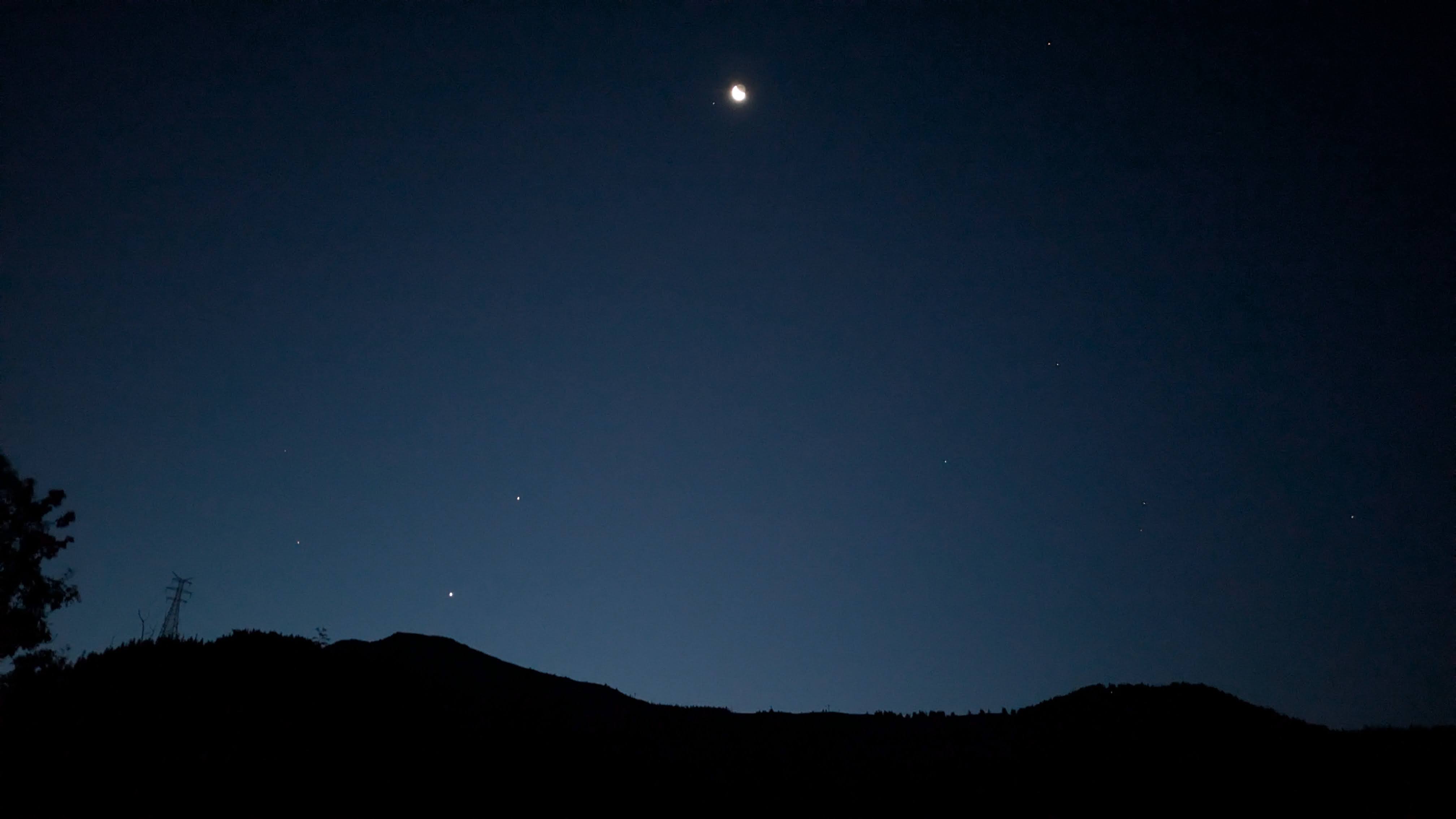
It’s clear enough to run without my head torch here, so I put it securely away at the same stop.
Without head torch, one can admire the night sky better, as now, with Venus and Jupiter just above the horizon.
06:36 I turn onto a broader, less steep, gravel path. I pick up the pace and start running for a bit.
The running lasts only 20min but has warmed me up.
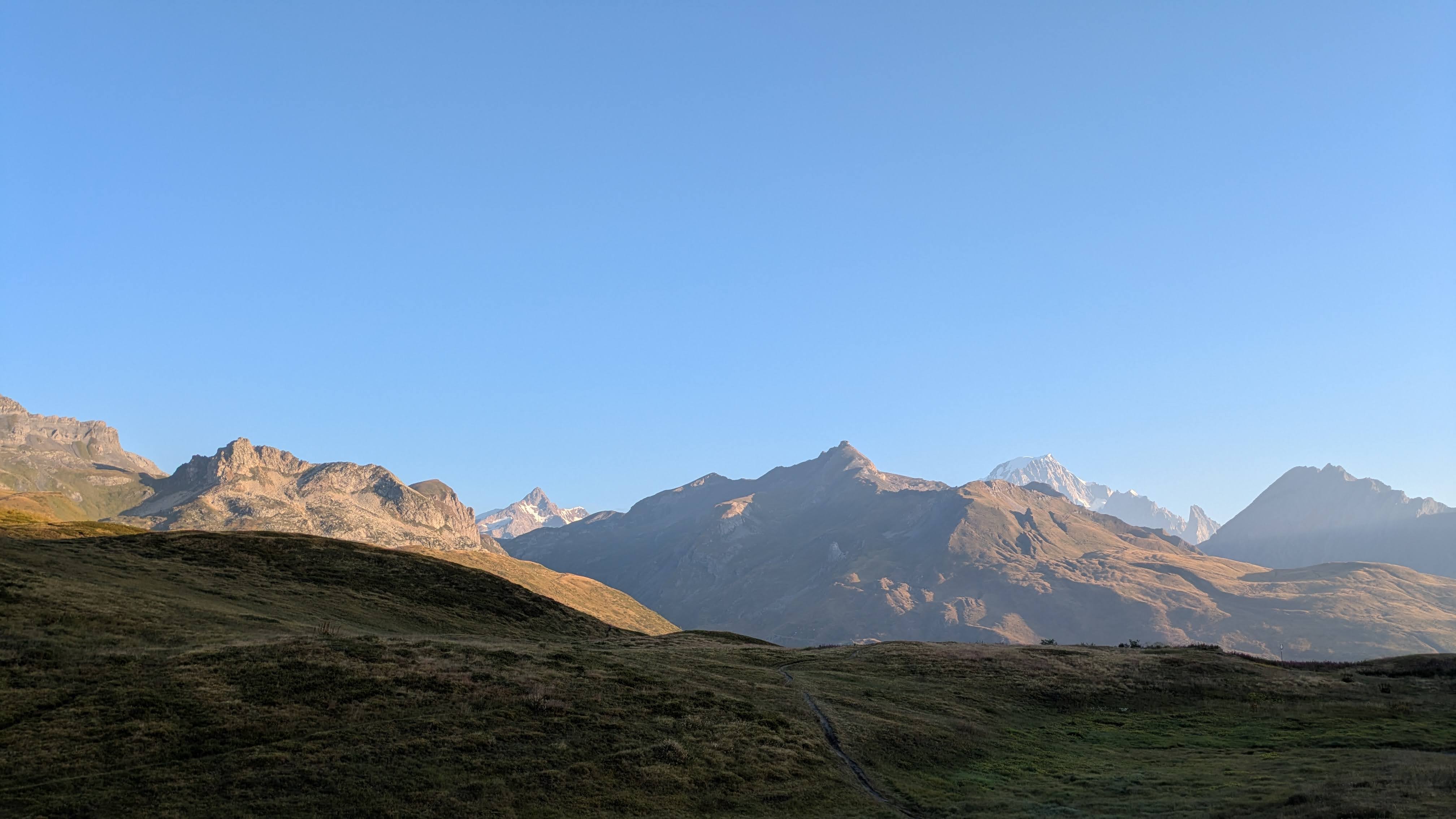
Later, I see the sun shining on some of the surrounding peaks, even if the valley in which I am climbing is still cloaked in shadows.
07:23 Col du Petit Saint Bernard, on the border between France and Italy.
I take the time to marvel at the views of the other side of the pass.
And then I continue climbing.
The course leads me through a part of the ski resort of La Thuile. First over a broad gravel path, then a smaller path and closer to Mont Belvédère on a small trail over a ridge. Such a nice place to be!
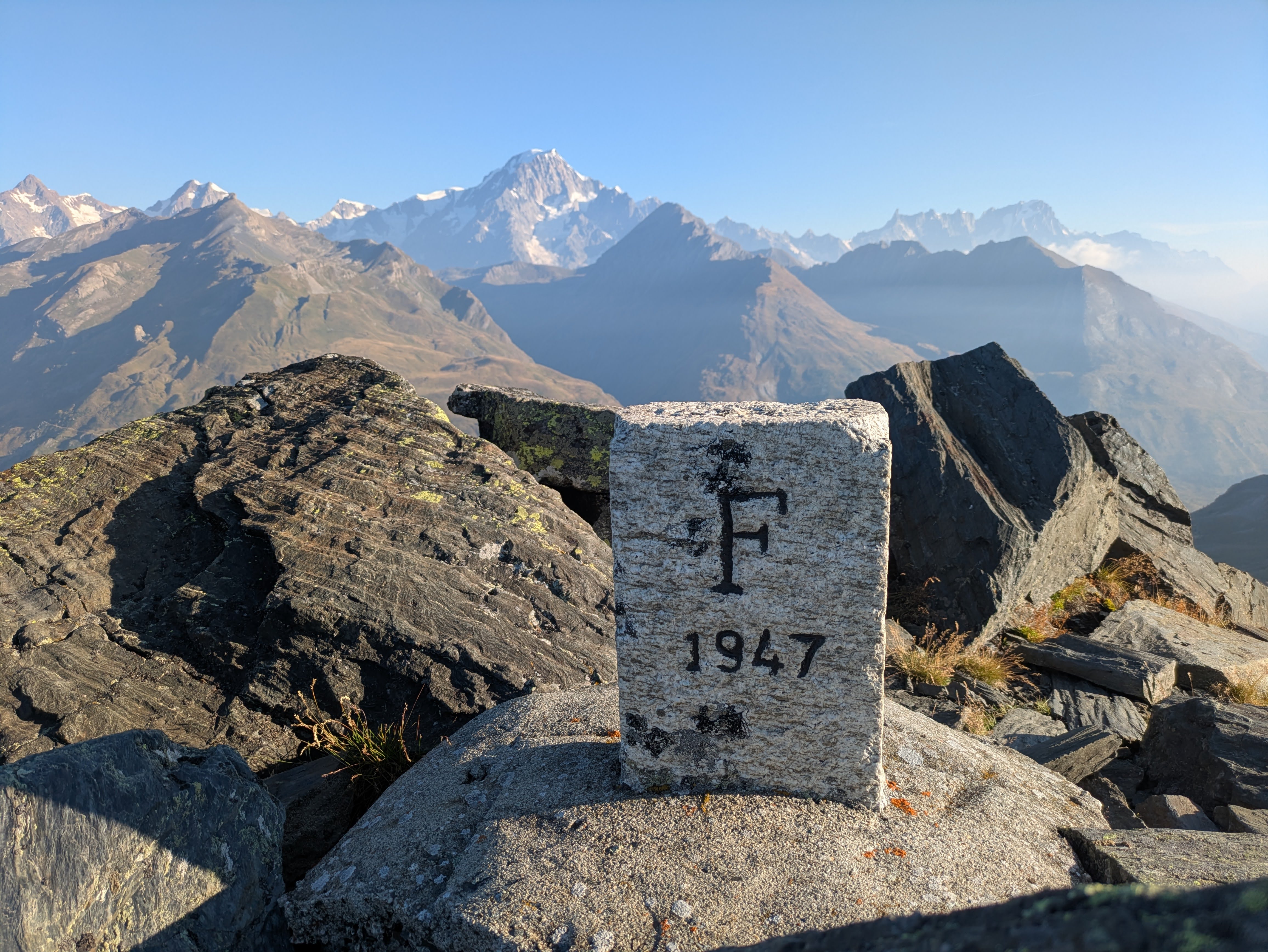
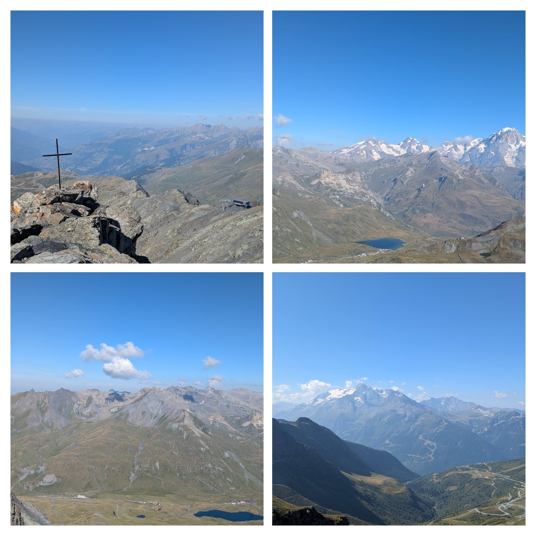
08:22 The summit of Mont Belvédère (2641m) is marked with a simple rectangular border stone between France and Italy.
There are a weather station and some ruined buildings.
But most important: I can savour a nice view of the surrounding mountains.
With Mont Blanc dominating the views to the North.
A couple of minutes later, I start moving again: it’s time to descent.
08:26 There is no direct route from this summit to the next one.
I descent back over the border in Italy, using a broad gravel path.
Sometime later I peel right onto a small track that dives into a small valley towards a dry stream.
I am on the lookout for water.
I am carrying 2 750ml bottles.
I still have enough water to keep going, but I suspect that there will be cattle in the pastures on the French side of Mont Valaisan, so I plan to refill my bottles before I meet said cattle.
08:41 It’s time to start the second climb of the day: 542m of EG over the next 5.8km to the summit of Mont Valaisan.
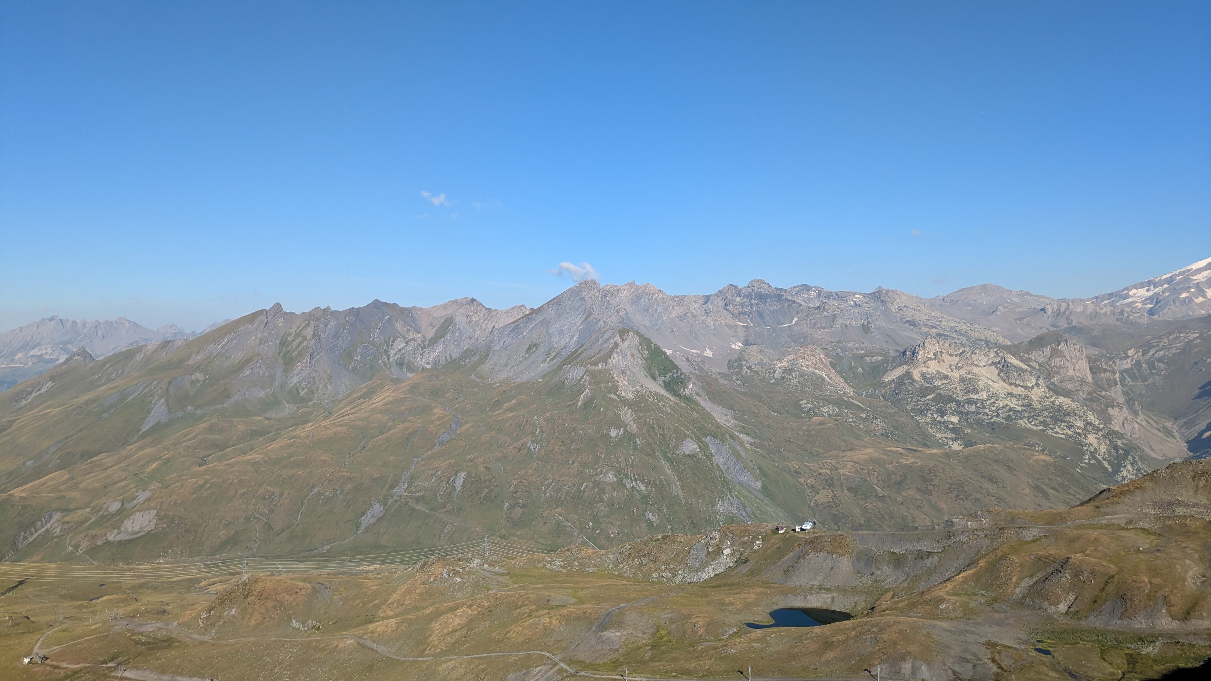
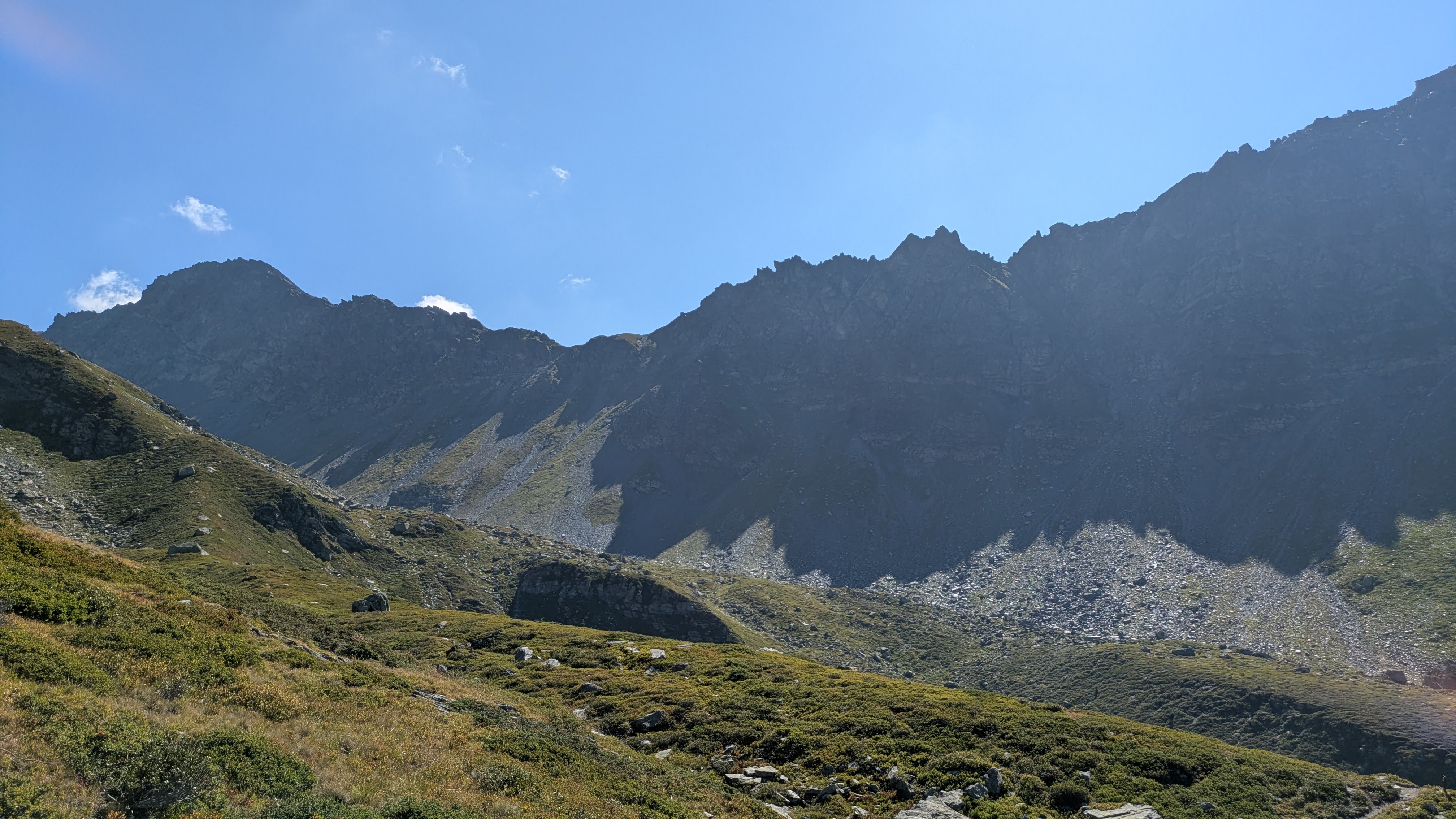
I climb towards a ridge, and once over the ridge I am rewarded with yet another great view on the Italian side of this mountain range.
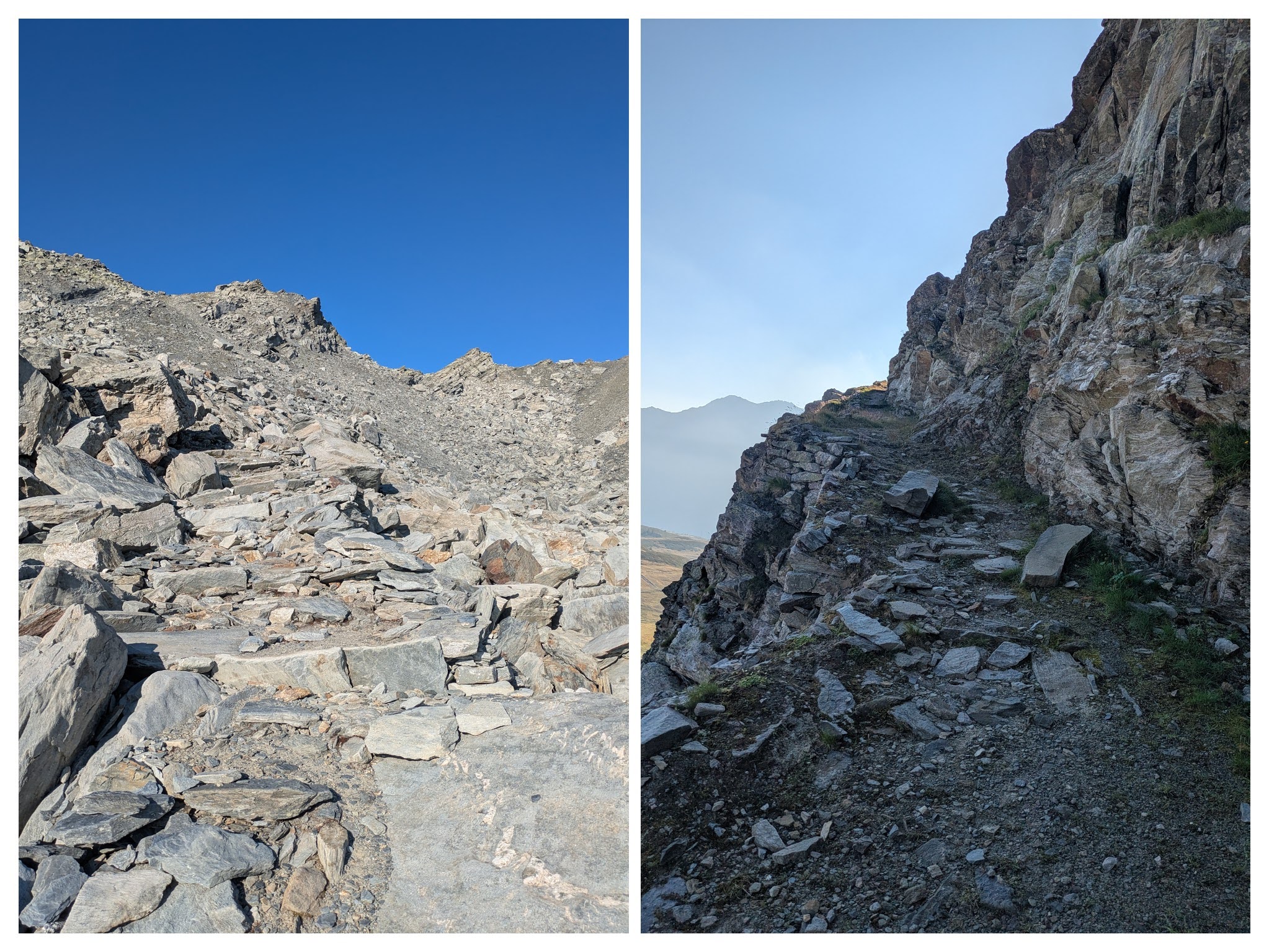
The climb towards Mont Valaisan is not always easy: some parts are more scrambling over rocks than running or hiking.
09:28 I decide to make a small detour to climb the summit of Bella Valetta (2811m).
Going down from Bella Valletta and starting the last part of the climb towards Mont Valaisan, I have a nice view of a valley with a couple of glaciers: Ghiacciao di Montvalaisan and Ghiacciao Occidentale di Fréduaz. I even hear the cracking noice of ice breaking off (I think).
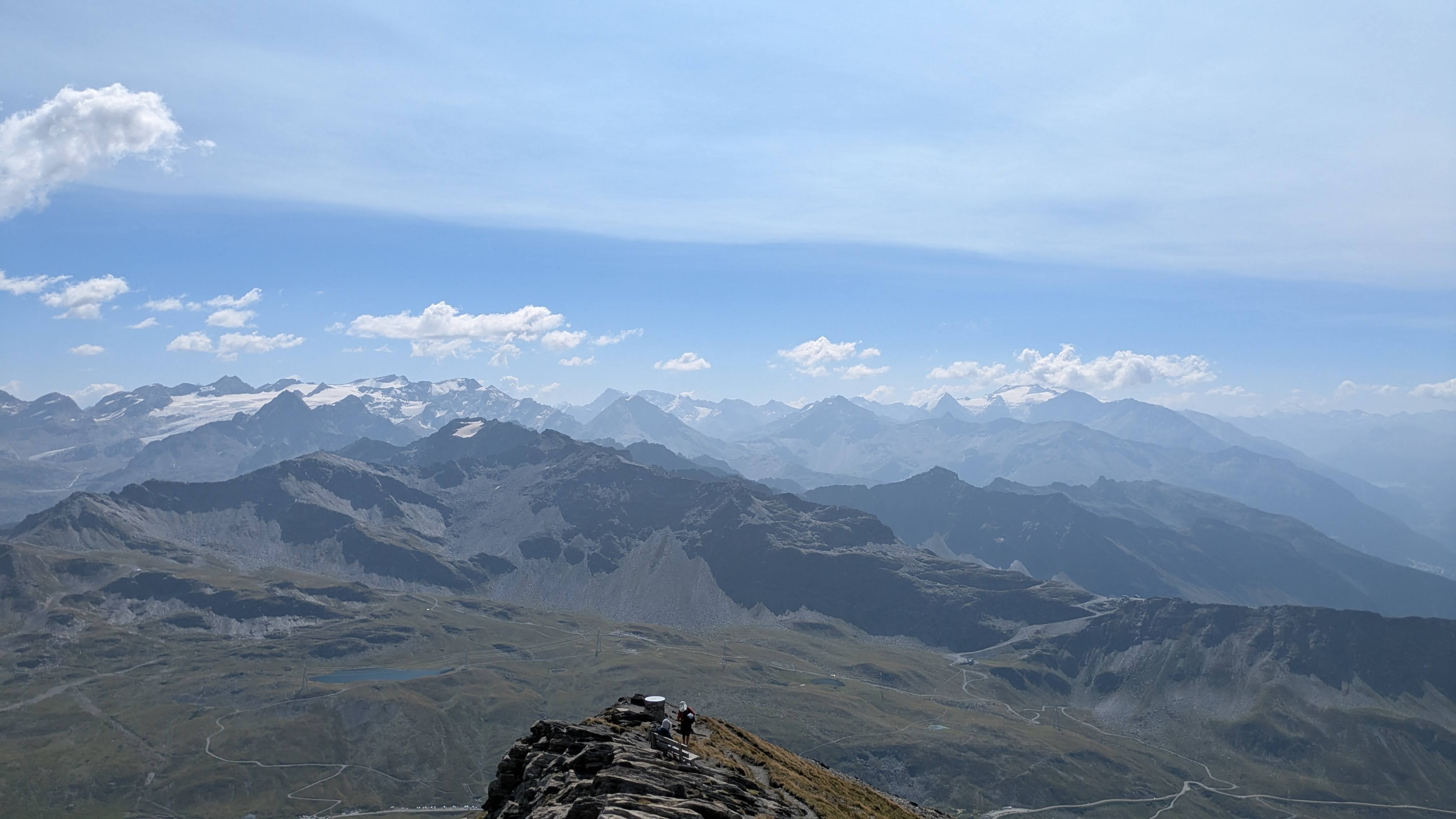
09:59 I am at the summit of Mont Valaisan (2892m).
I take the time to look around and take pictures.
Due to the location of this summit in regard with the neighbouring summits, and due to its height, I have a 360° panoramic view.
Safely stored in a waterproof plastic box is a logbook. I record my presence in the logbook, as well as the route I took to the summit and the route I will take back home. It’s fun to read the last couple of entrances of the previous days. Somehow, I feel connected with these other people.
10:14 It’s time to start moving again.
I descent on the French side of the mountain.
The first part is steep and difficult.
Later I join what is clearly a skying slope.
10:32 The path brings me along a fast-flowing mountain stream.
This is just what I was hoping for.
As I have not met any cattle since descending from the summit, I start filling my water bottles.
And for the good: 200m lower on the path I cross a shepherdess with her flock grazing on the slopes.
It starts to get hotter, and it’s time to store my top layer in my pack. I start crossing or overtaking other people on the trail, mostly hikers, but also some trail runners.
10:56 I am looking for a good spot to eat my ham-and-cheese sandwiches.
It is too hot to sit in direct sunlight.
A couple of minutes later the path brings me in the shadow of a small ridge.
That is the spot.
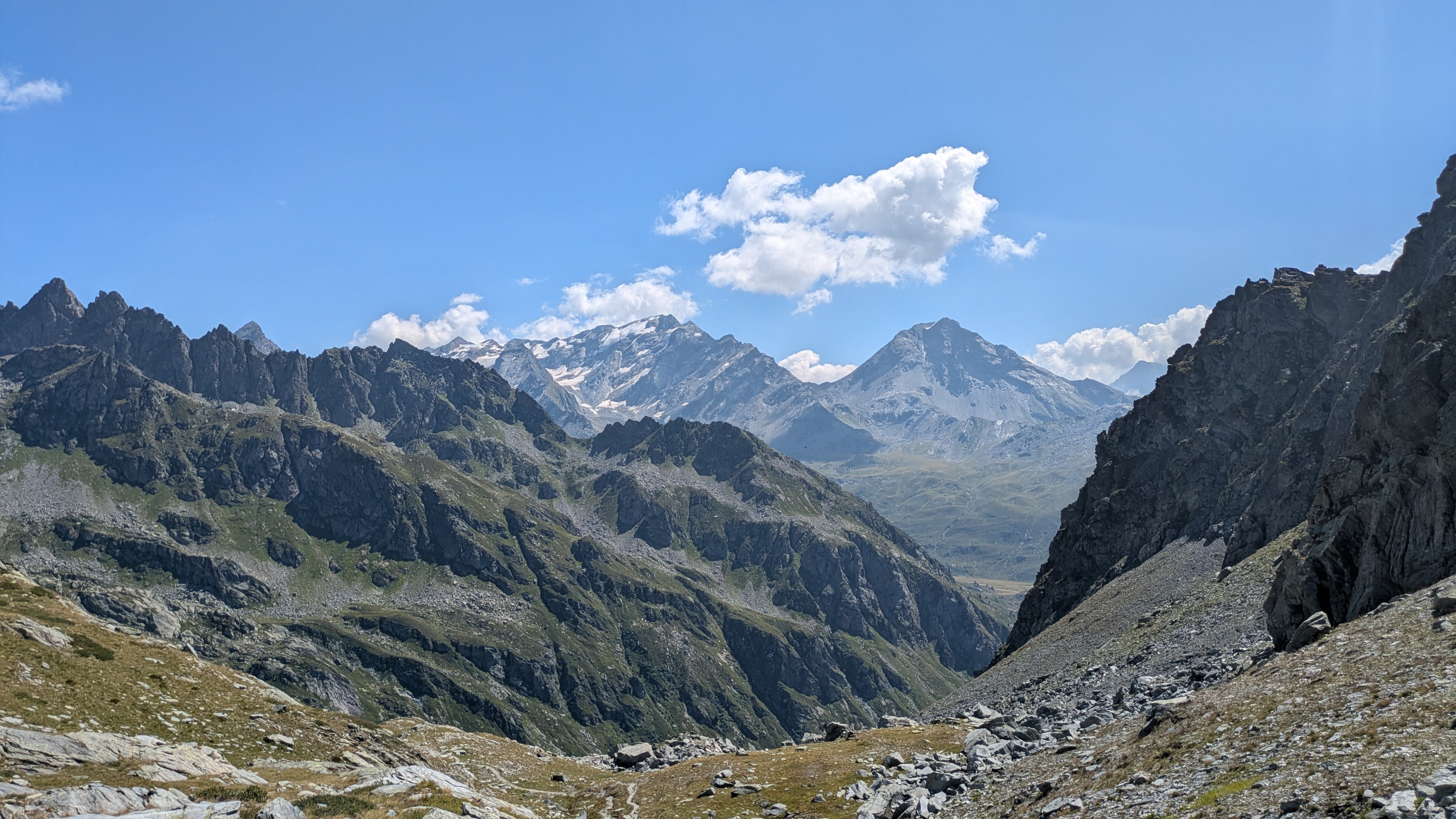
After scaling that ridge, there is a new view again. This is one of the aspects of running in the mountains that I like so much: there is a new view after each turn, over every ridge. And each of these views is stunning.
11:30 And there is the next climb, towards Passage de la Louïe Blanche: 345m of EG over 1.5km.
I am working hard to keep a good rhythm.
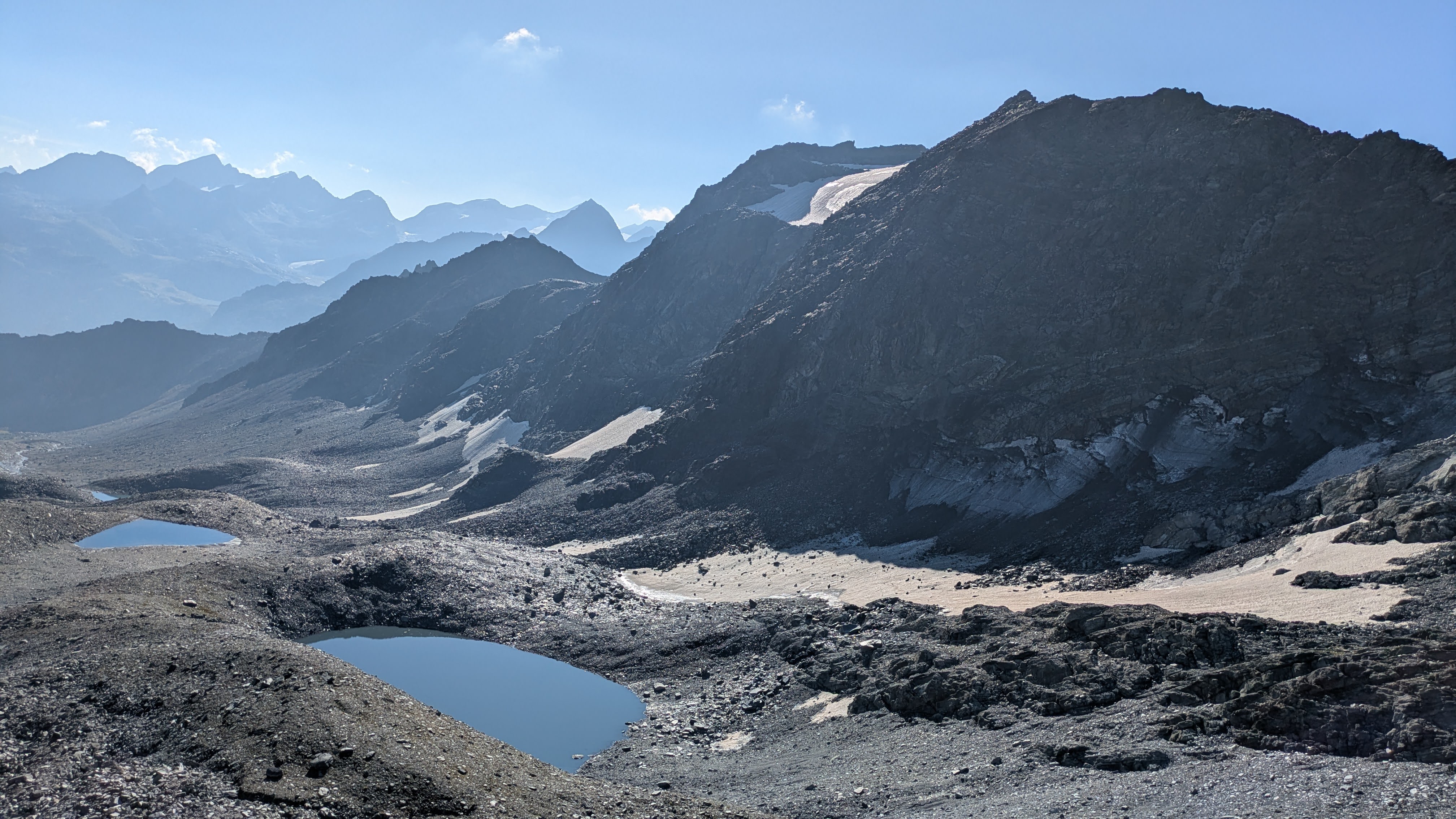
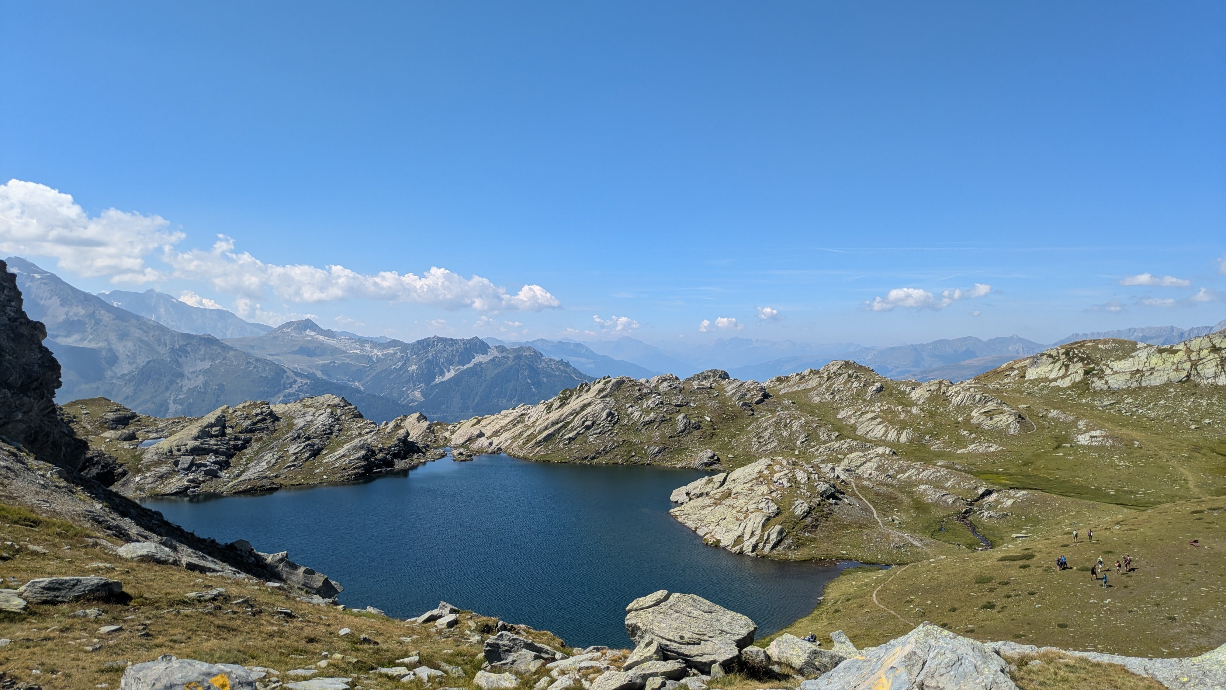
11:55 Over Passage de la Louïe Blanche, and in another valley down and back up towards Col du Retour.
There is a small lake in the upper part of this valley.
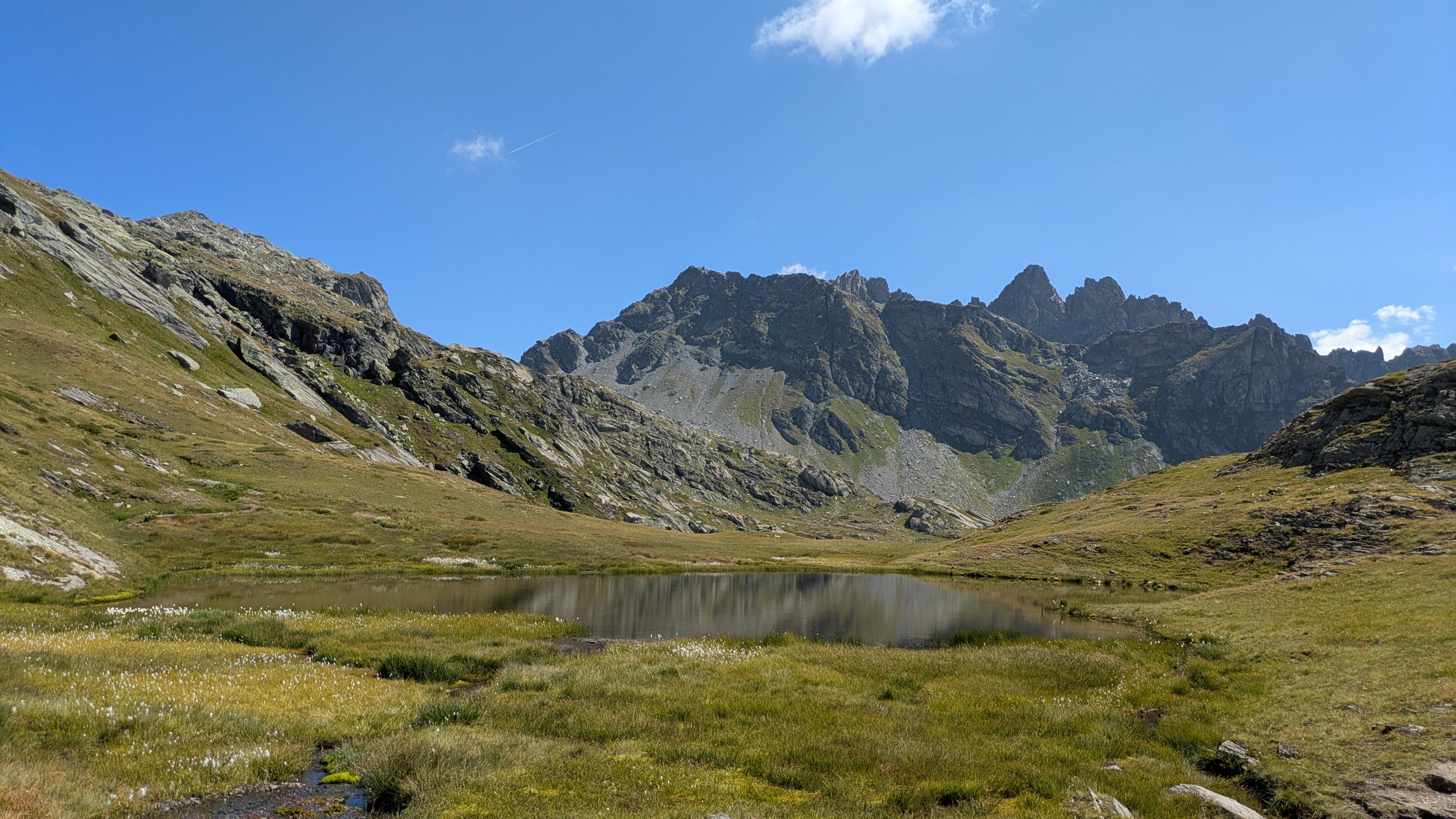
This valley is rough and beautiful. And I have a view of some distant mountain peak with glaciers on its slopes. I think it’s Mont Pourri, the summit that sits over the ski resorts of Les Arcs.
But my course leads me back to the ridge, and over Col du Retour.
12:21 On the Col du Retour and along the shores of Lac du Retour just beneath it, there are a lot of people.
I had planned to sit down here and rest, but I don’t feel like sitting between so many people.
There’s only about 20 people all together, but the difference between this and being alone for the whole day is too big.
Luckily, I have planned my course well: the path I have chosen leads me away from the more direct approach towards this place, so I am soon alone again.
12:48 Unfortunately, all the streams in the valley I am running in are dry.
My water reserve is diminishing too fast, so I decide to start rationing.
This is not a good time: it is getting hotter by the minute, both due to the time of day and to the fact that I am descending further down.
I am hot. I need to sit down. I find a good spot in the shadow of a big boulder. I rest for a couple of minutes.
13:19 Trees appear around the track.
Soon I will be in the forest, whose shade should cool me down a bit.
13:42 Finally: a bigger, fast-flowing stream.
I empty my near-empty bottles, and drink eagerly of the cool water.
I fill my bottles.
I also dip my hat in the stream just before leaving again.
13:59 In the village of La Combaz I dip my entire head into the wooden basin under a fountain.
It cools me down well.
But it also means that all the salt on my head starts streaming into my eyes.
Well, that could have gone better.
14:28 And here I am back home.
Ready for a beer in the shade.
Boy, do I love running in the mountains!
I had a headache coming up shortly after the finish, which stayed with me for the remainder of the afternoon and the evening. A clear sign that I was dehydrated. I should have better planned the water refill spots.
If you want to react to this post, you can contact me: